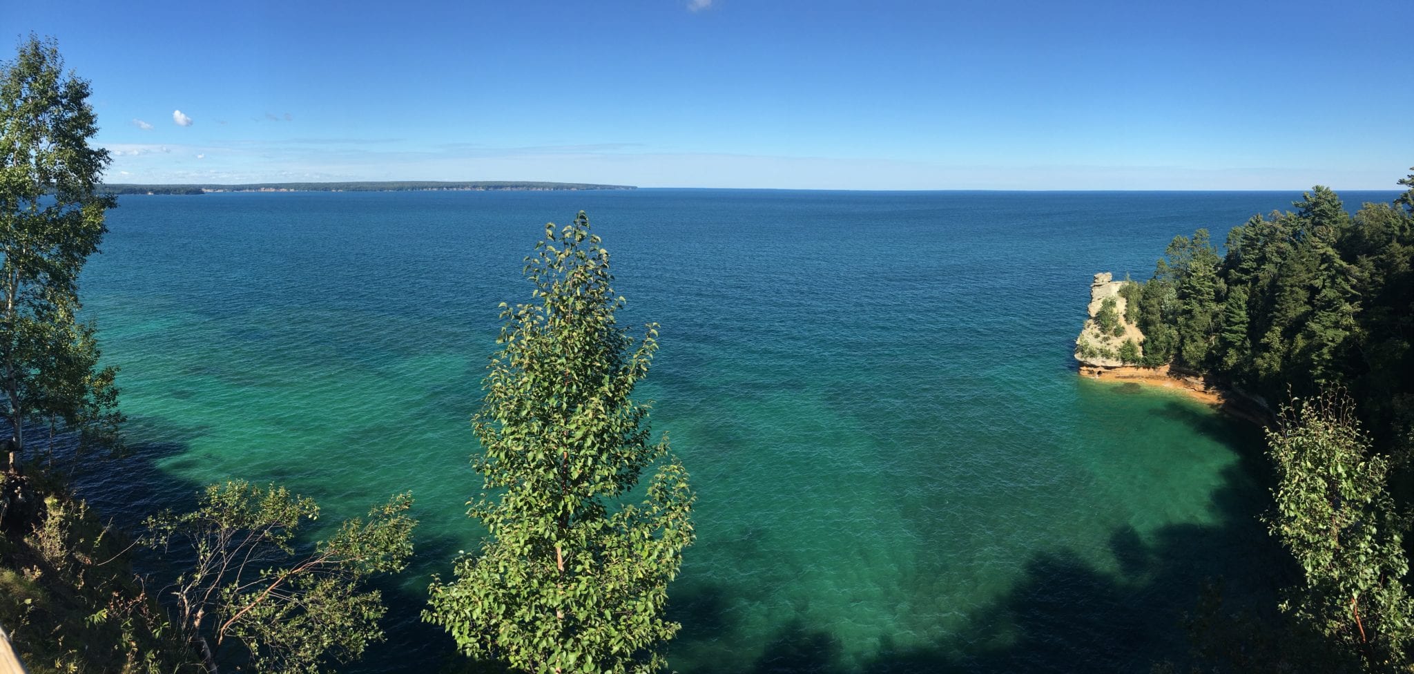
There are refrigerator magnets and t-shirts everywhere on Michigan’s Upper Peninsula that say “Great Lakes – Unsalted & Shark-Free” that make me chuckle. This was my first time seeing Lake Superior. I had “Wreck of the Edmund Fitzgerald” going through my head the entire time I was there.
In order to do Pictured Rocks justice, you should go the length of it twice – once by land and once by boat. It’s best to buy the tour boat tickets (from Munising City Dock) in advance, so get that lined up first, and then plan your drive around it. I suggest two days minimum.
Pro tip: When one sees “pasties” on a sign in the U.P., it is referring to savory turnovers filled with veggies and meat. And Yoopers pronounce it “PASS-tees.” You’re welcome.
-

- A very calm protected South Bay in Munising. Grand Island on the left and Sand Point on the right.
-
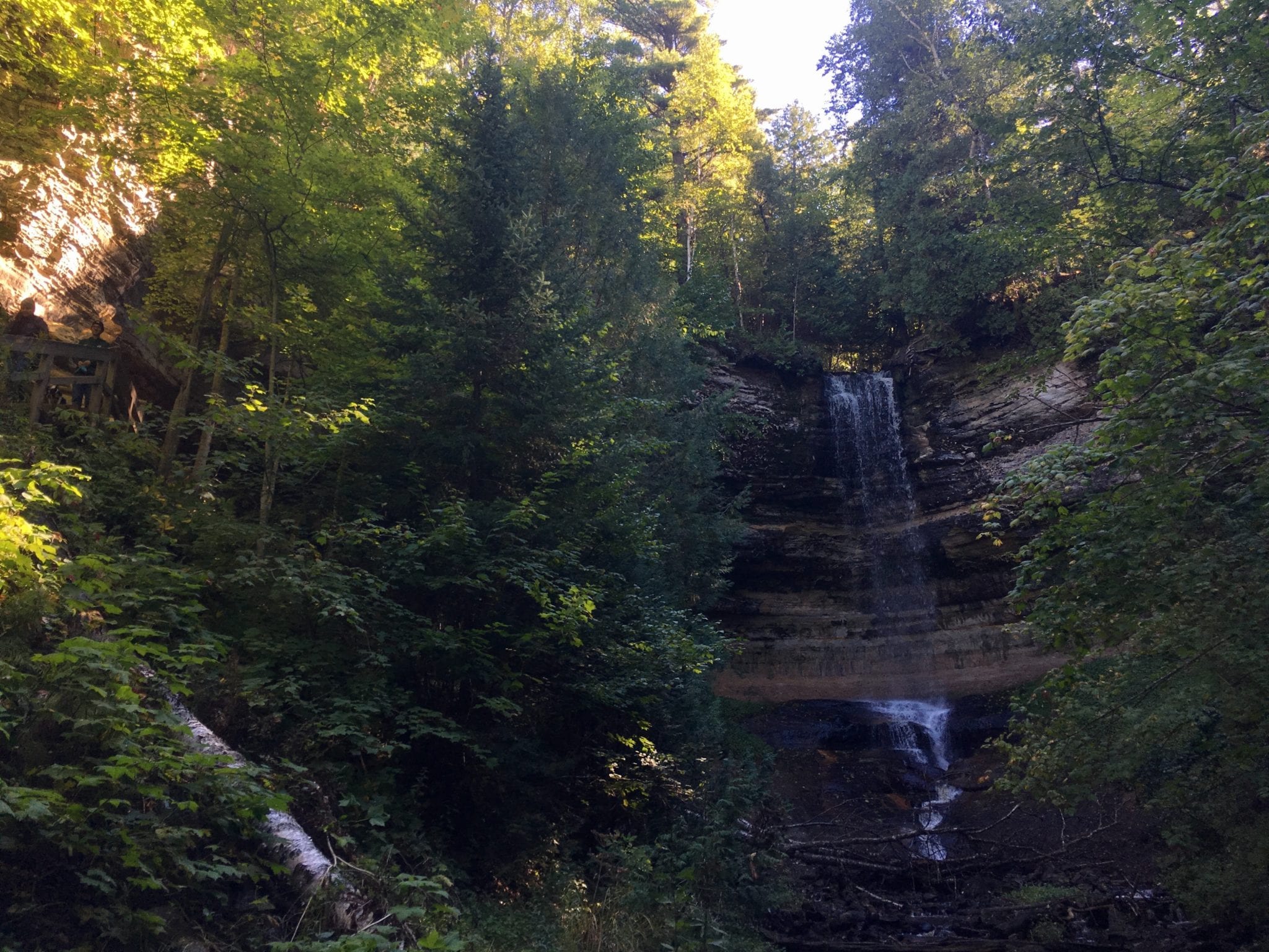
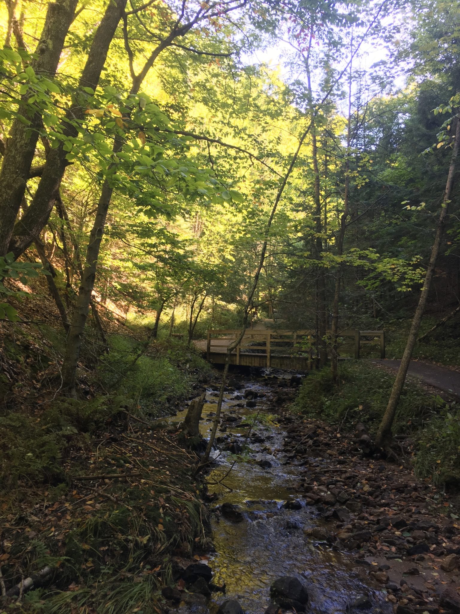
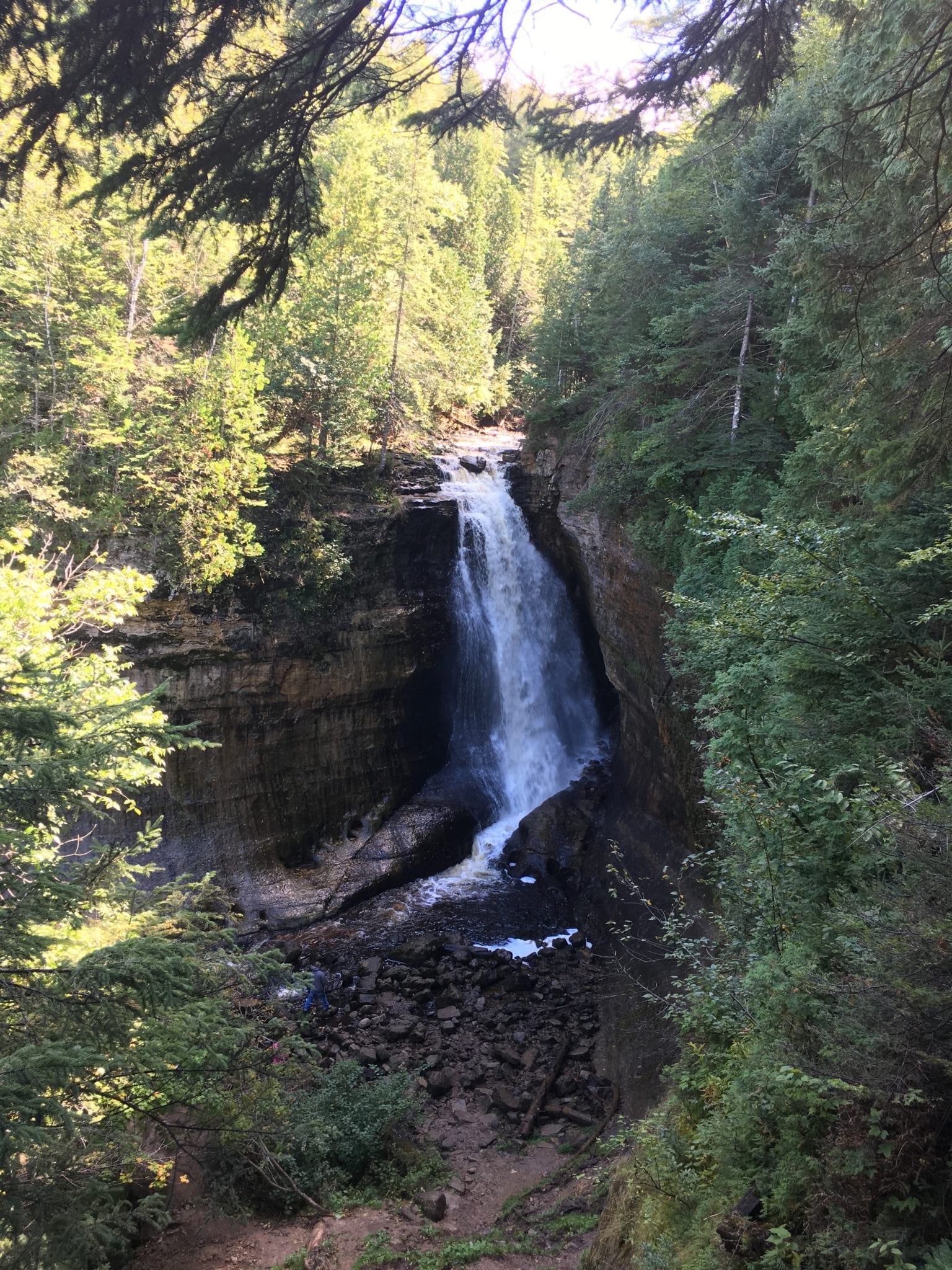
- Munising Falls
-
- Below Munising Falls
-
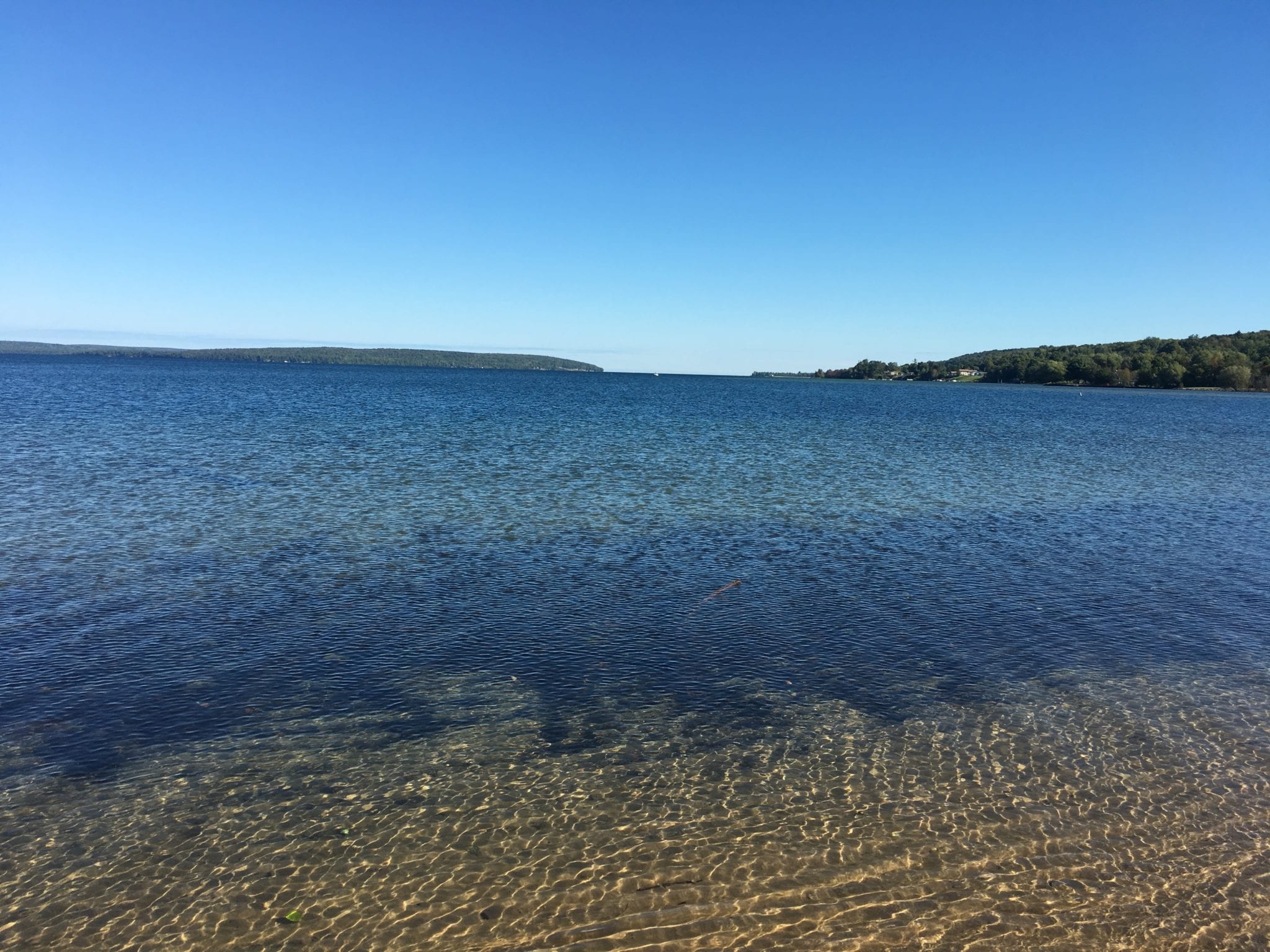
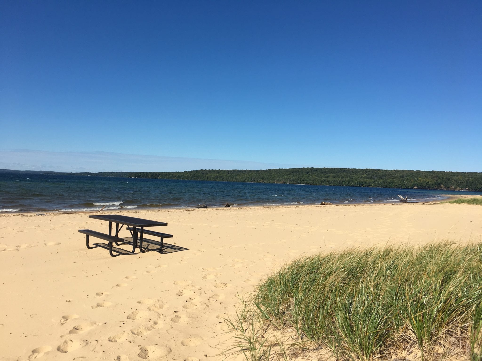
- Sand Point Beach
-
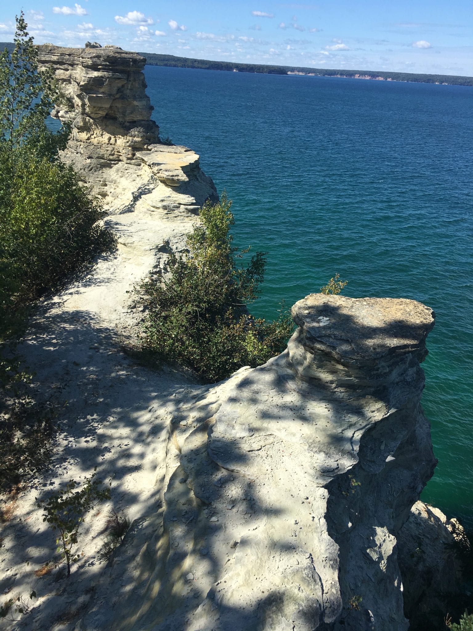
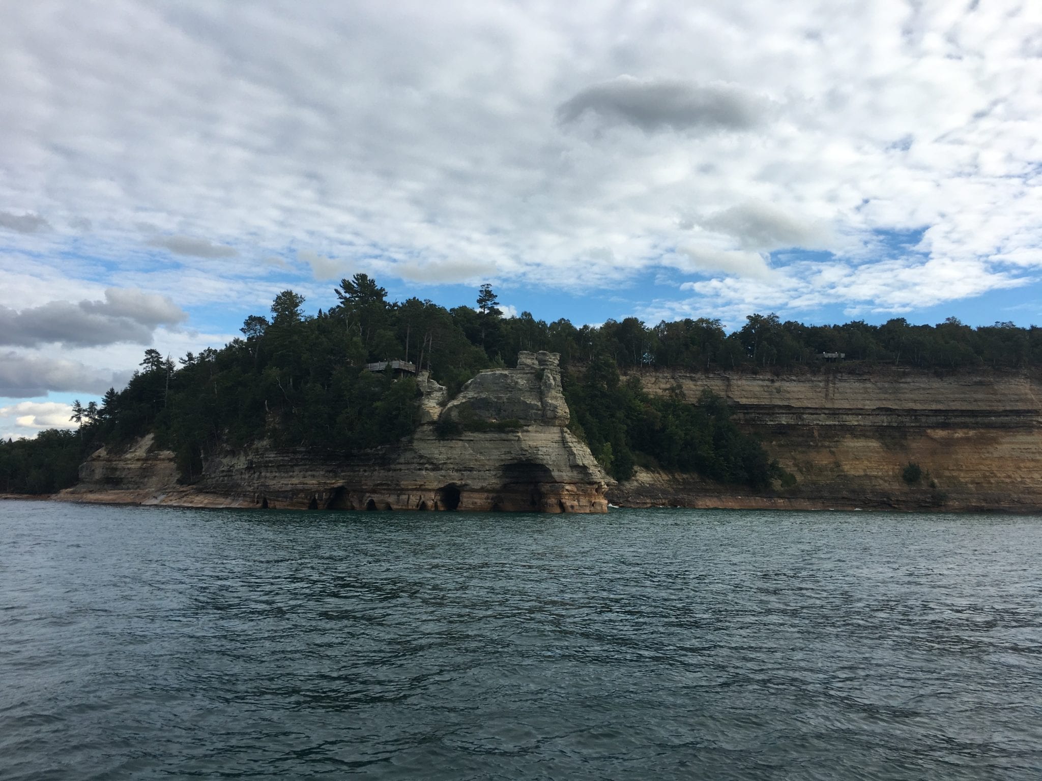
- Miners Castle on the right
-
- Miners Castle, from above (Note in later photo, from the water!)
-
- Miners Falls
-
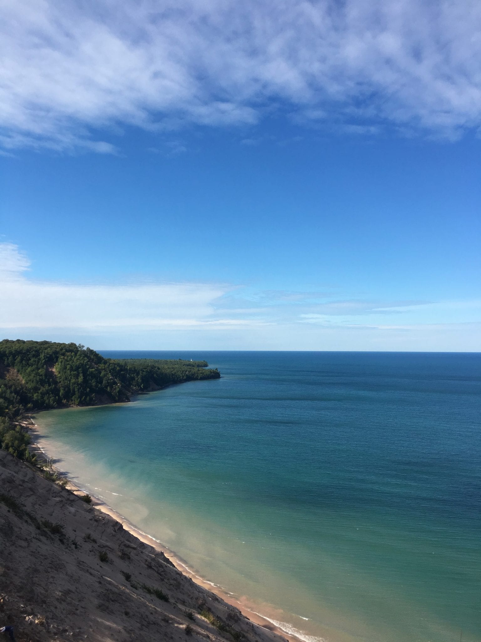
- Log Slide Overlook. See the tiny white Au Sable Light Station on the far point? Grand Sable Dunes in the foreground.
-
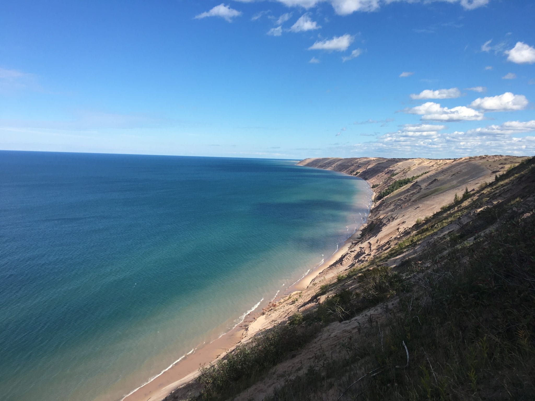
- Grand Sable Dunes from Log Slide Overlook
-
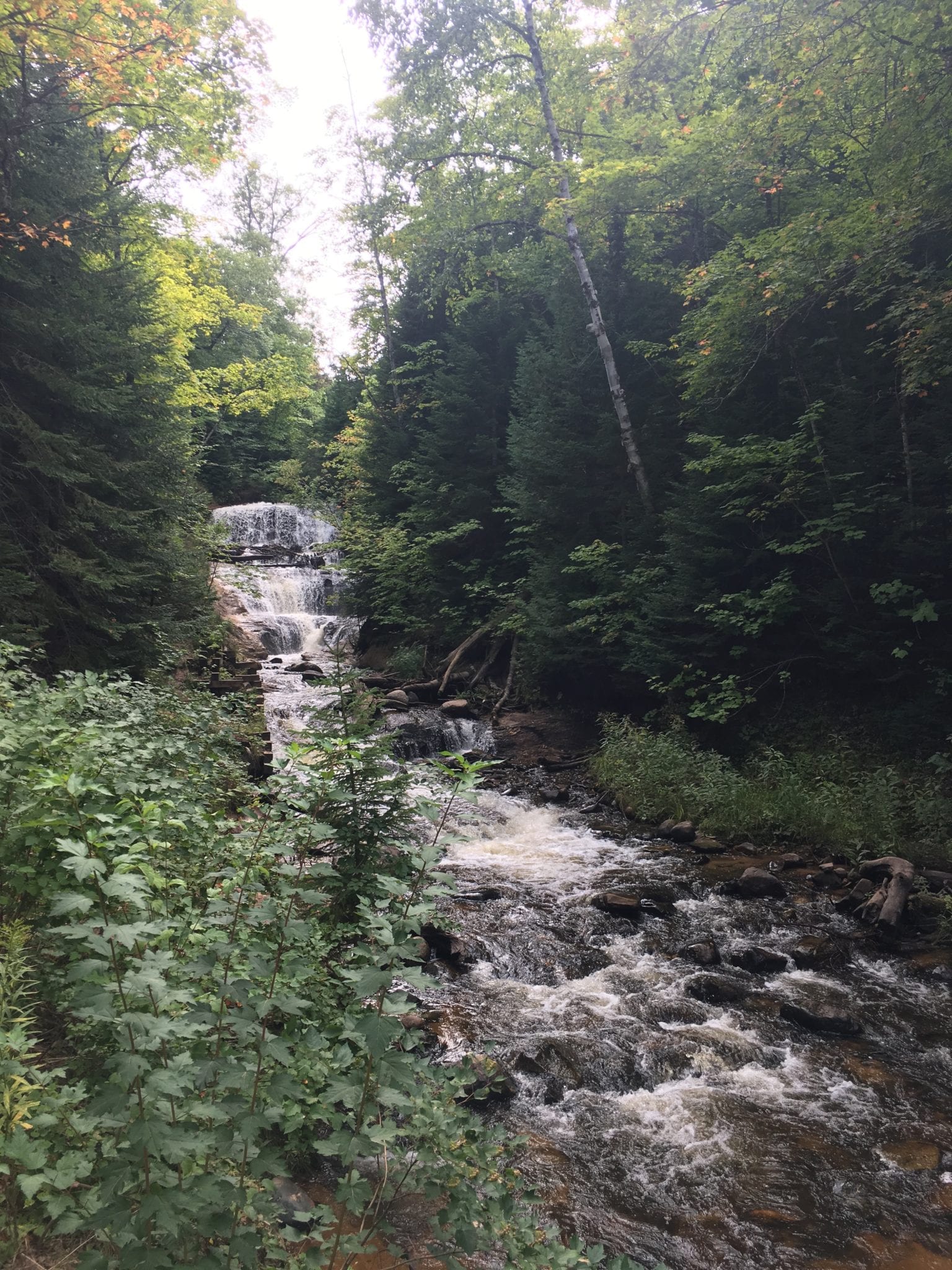
- Sable Falls
-
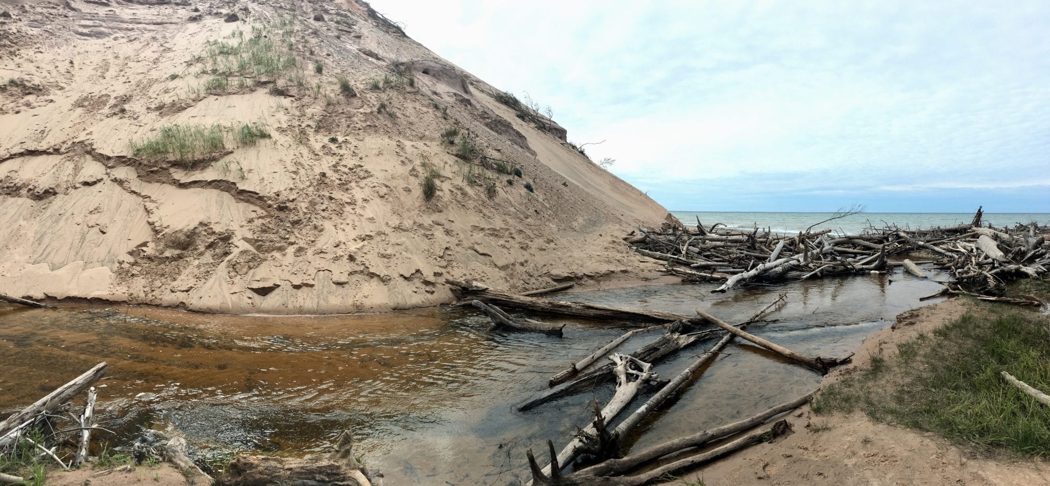
- This water comes down from Sable Falls into Lake Superior, between the end of the Grand Sable Dunes and Woodland Park.
-
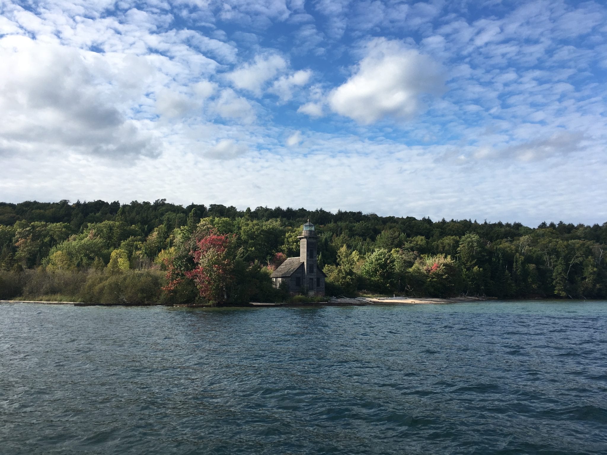
- Grand Island East Channel Lighthouse
-
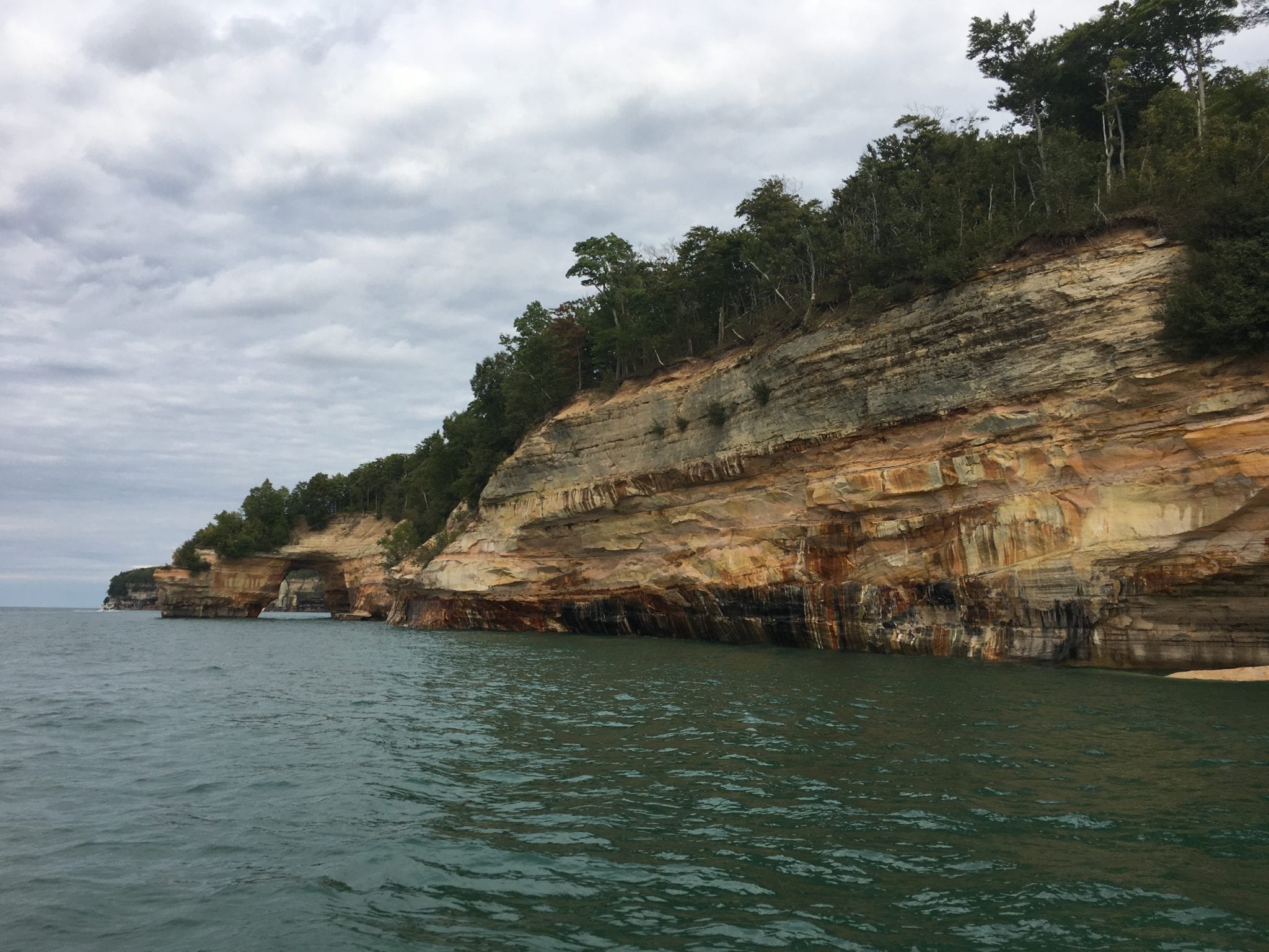
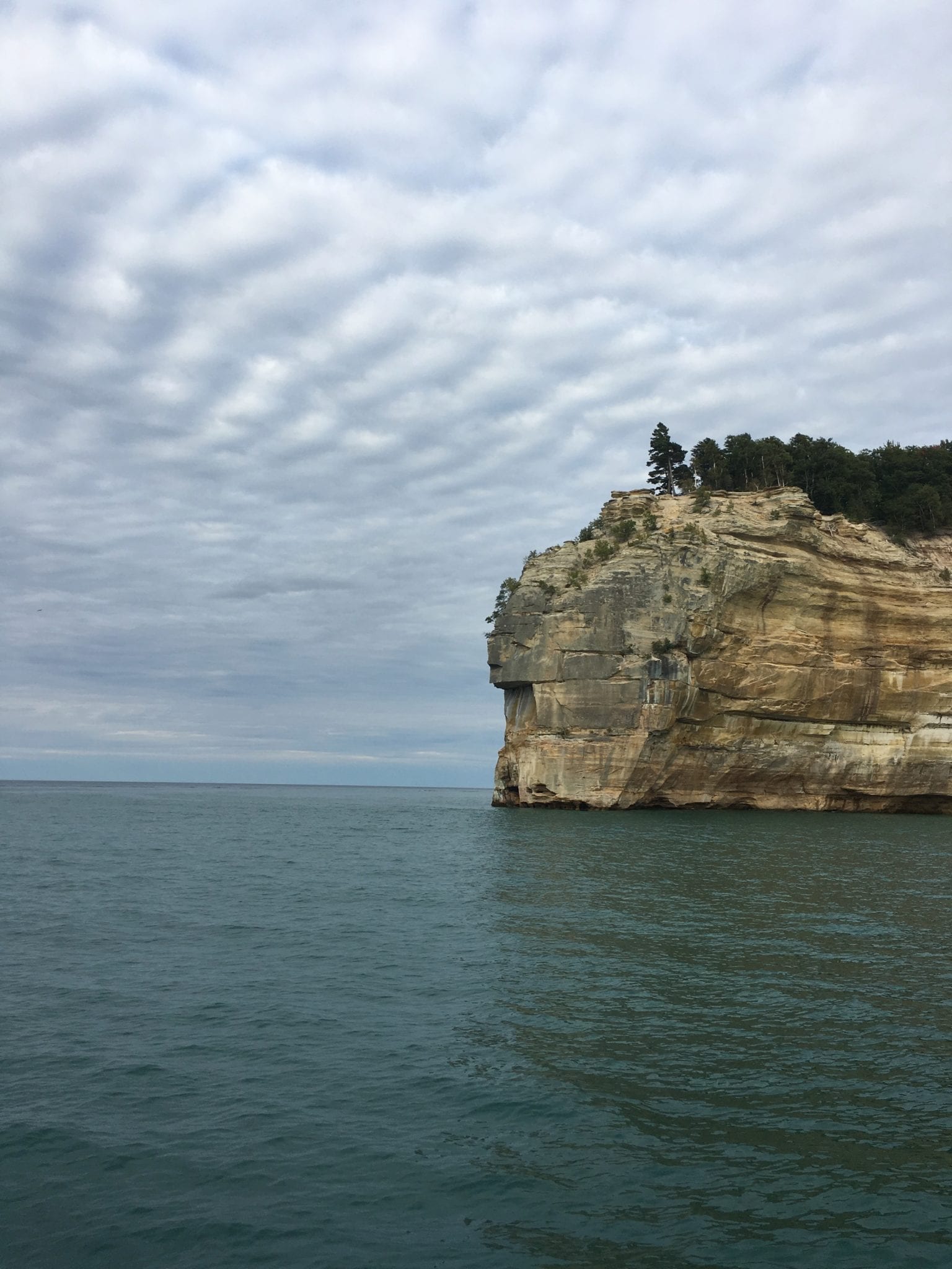
- Miners Castle, perspective from the water
-
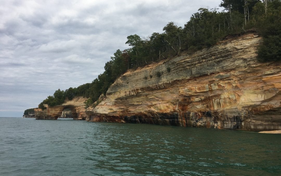
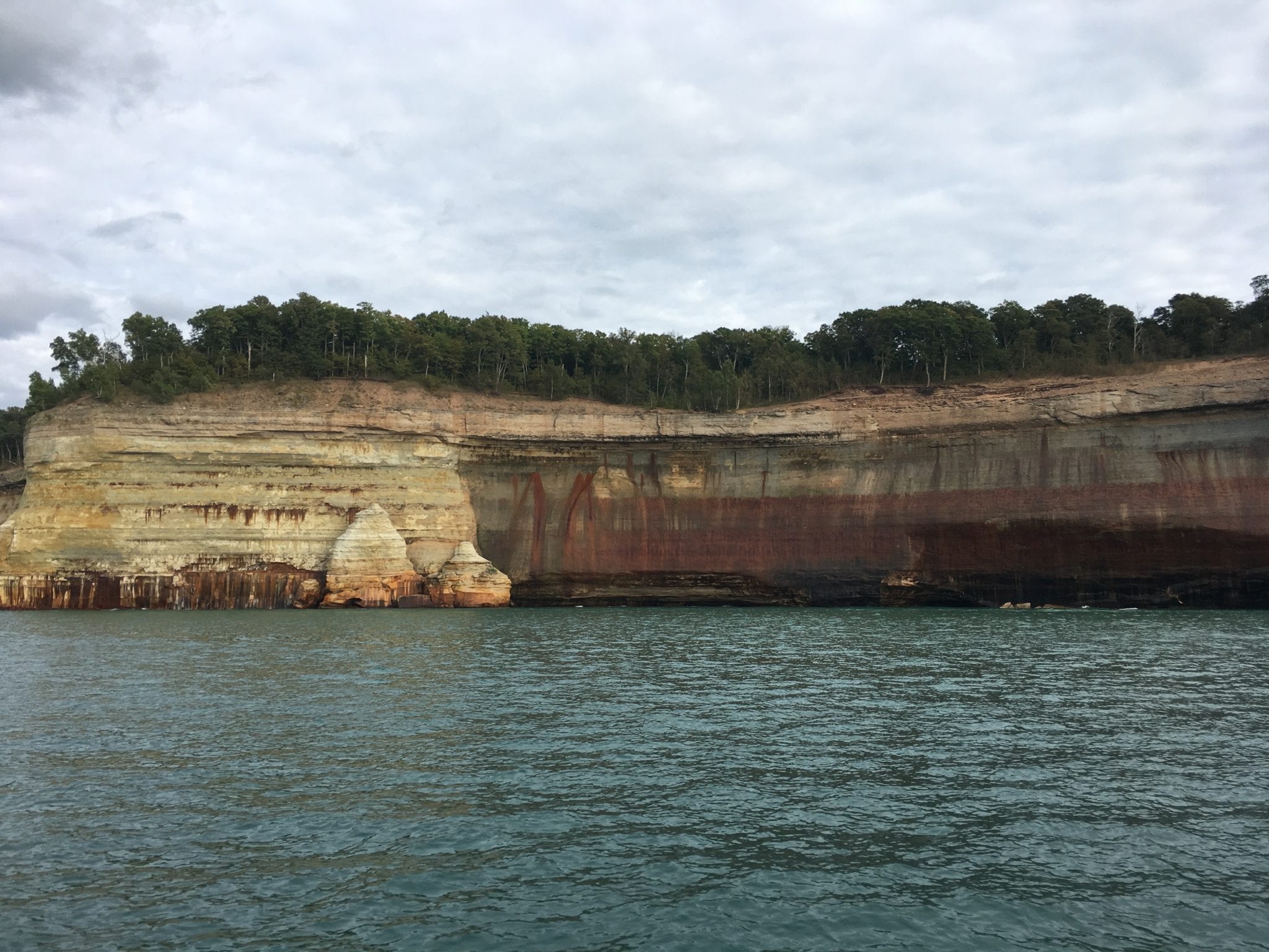
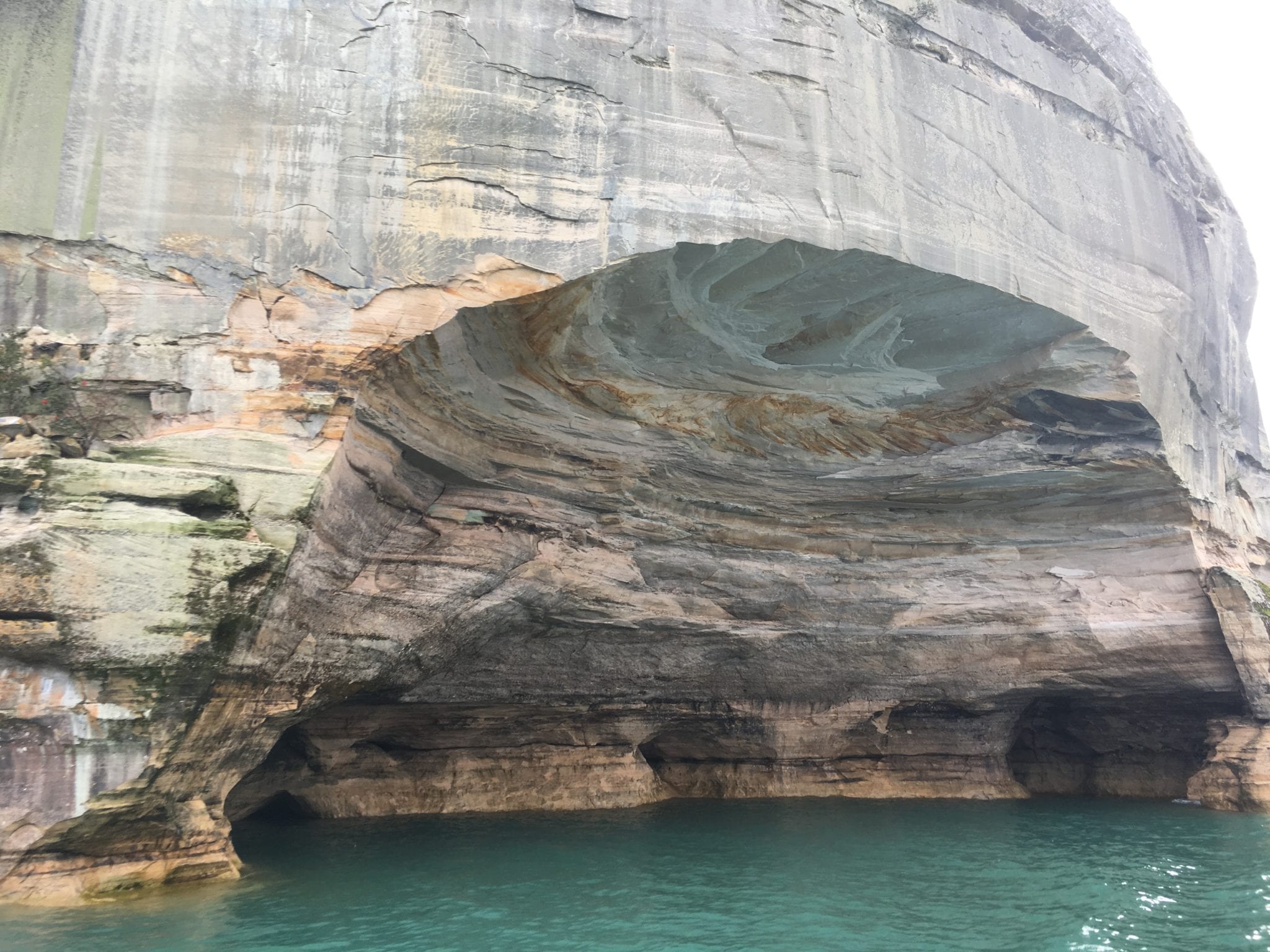
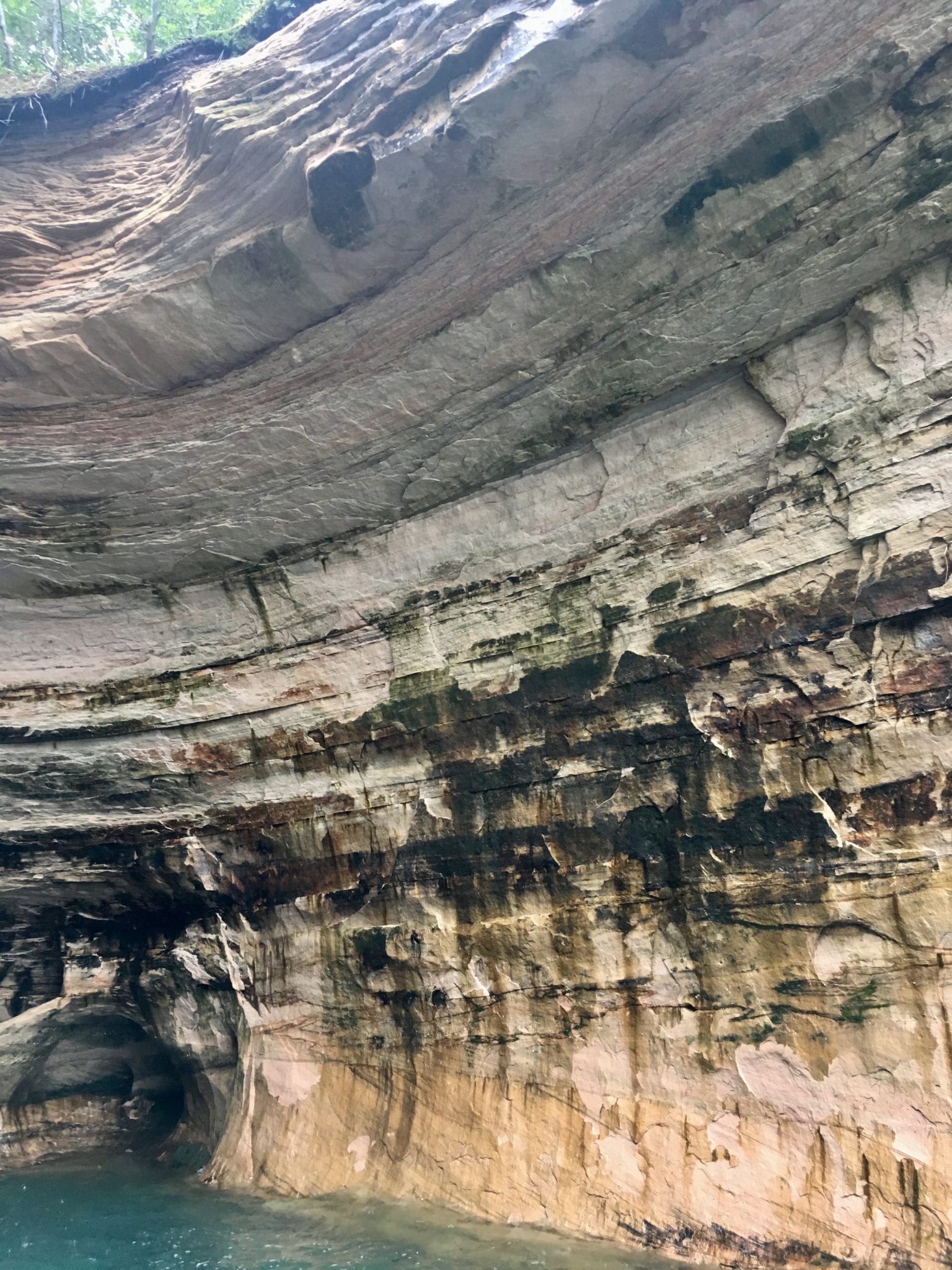
- Caves of All Colors
-
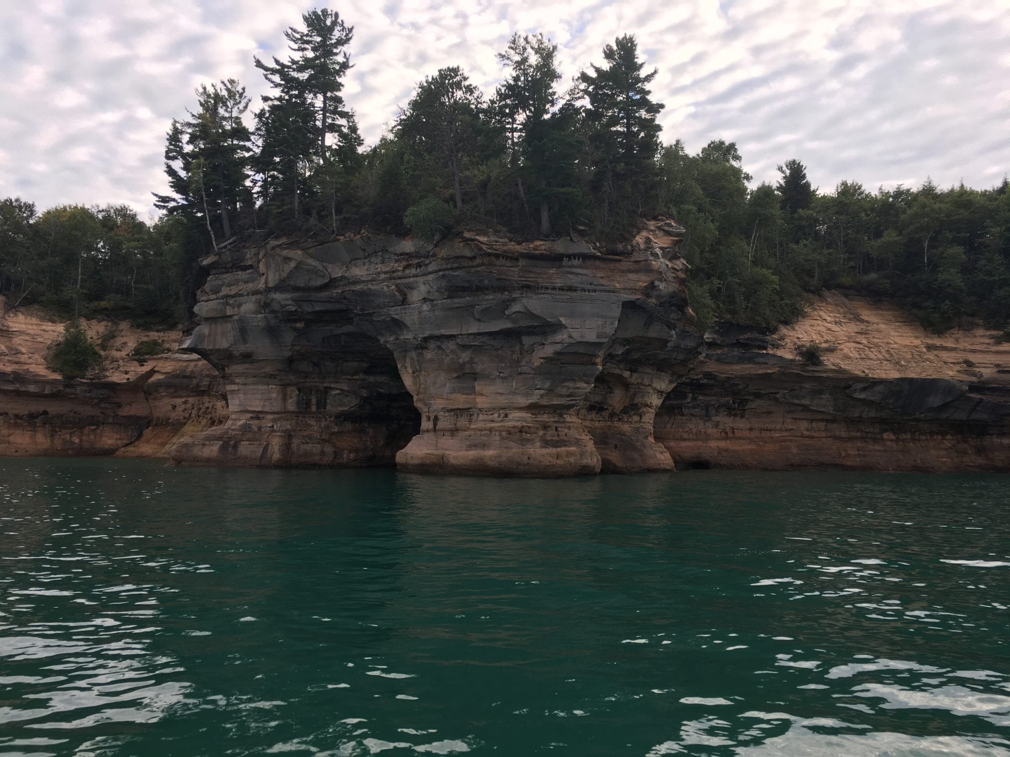
- Lovers’ Leap arch
-
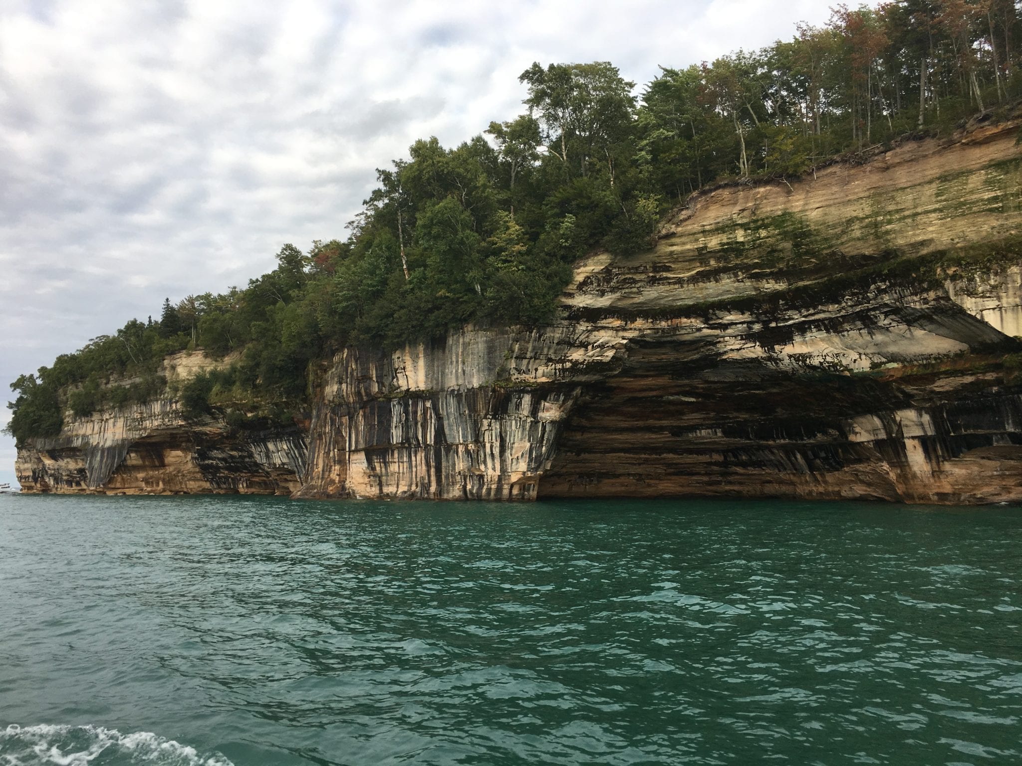
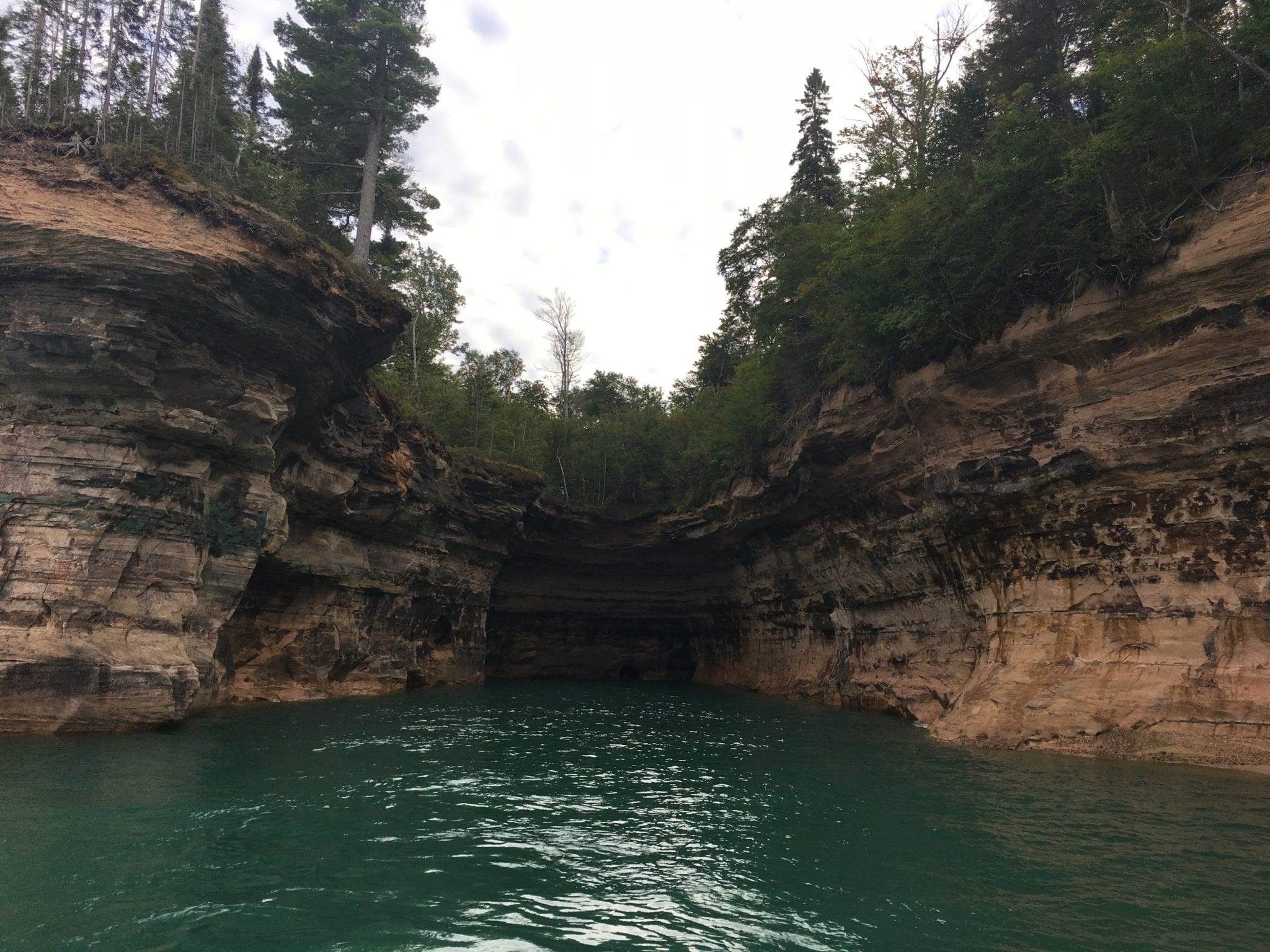
- Rainbow Cave
-
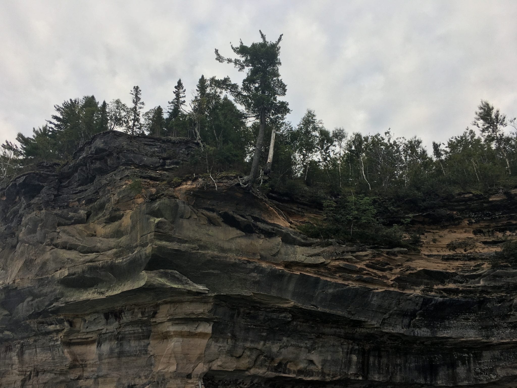
- Indian Head
-
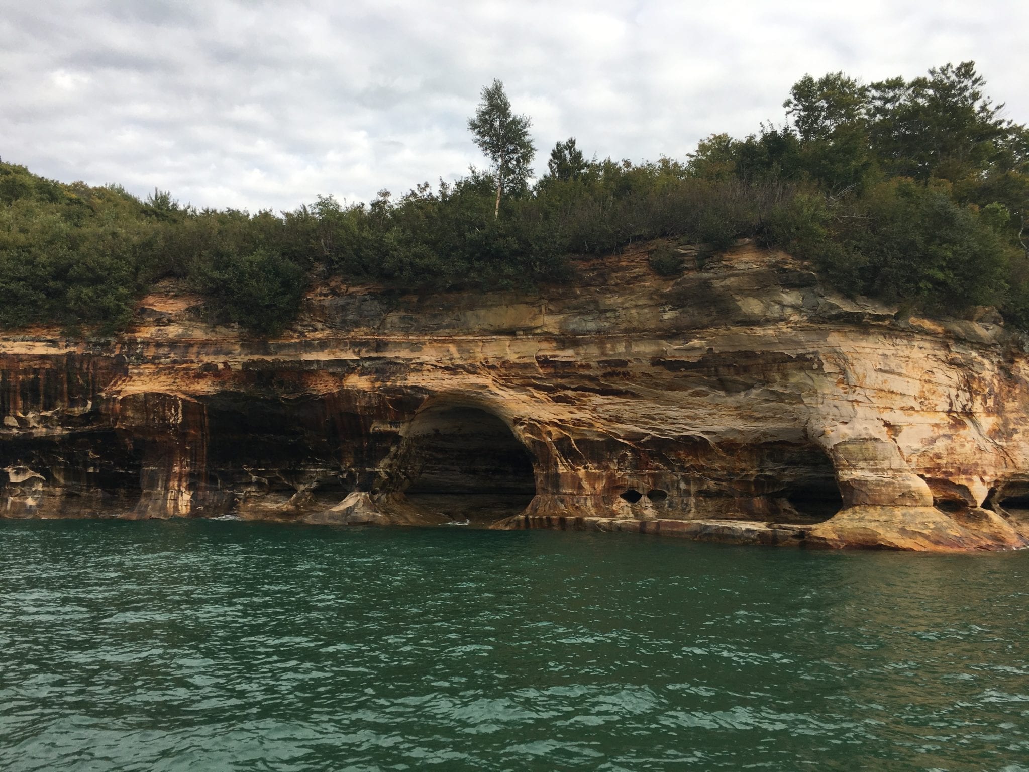
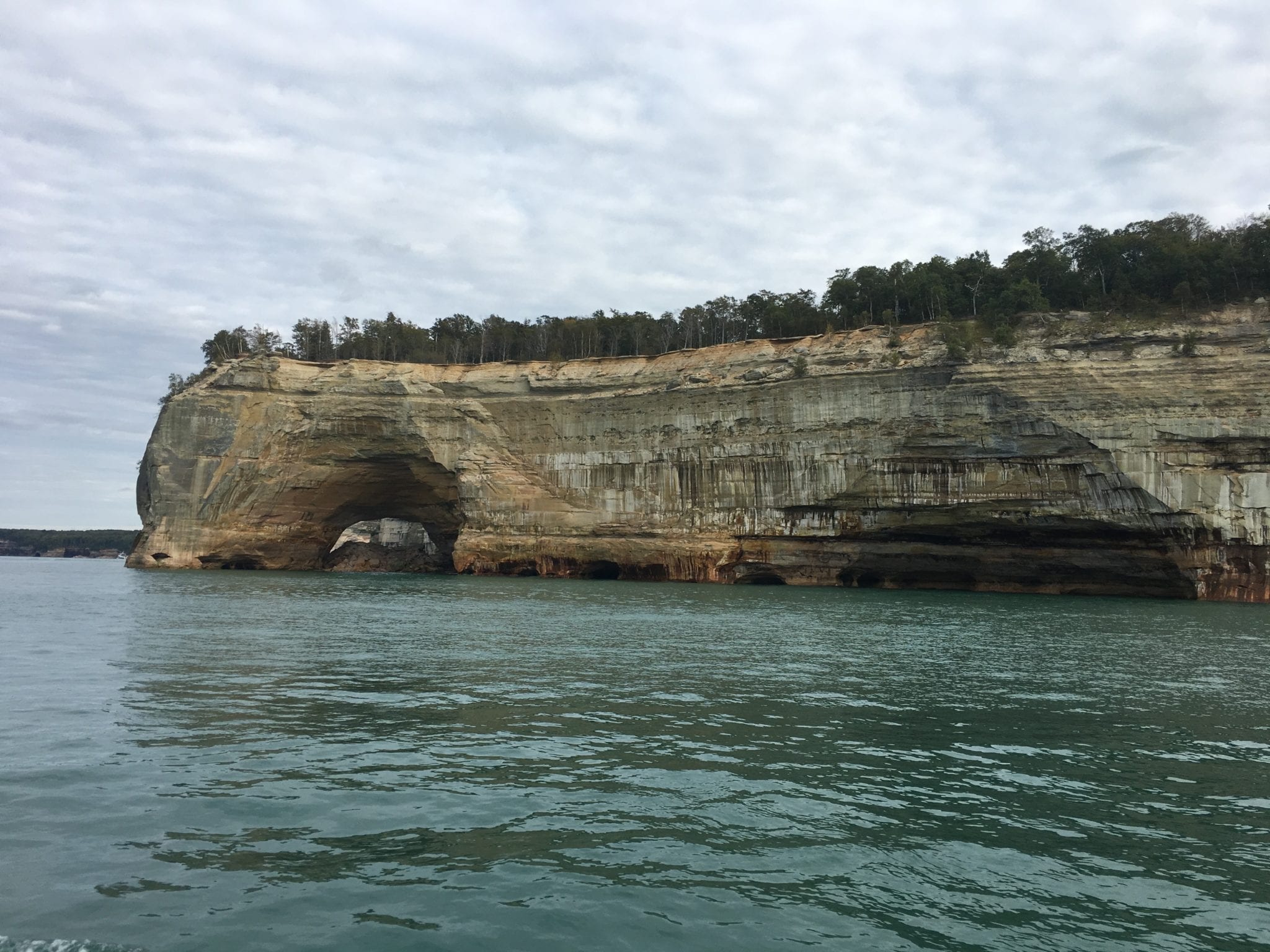
- Grand Portal
-
- Indian Drum
-
- Chapel Cove
-
- Chapel Cove
-
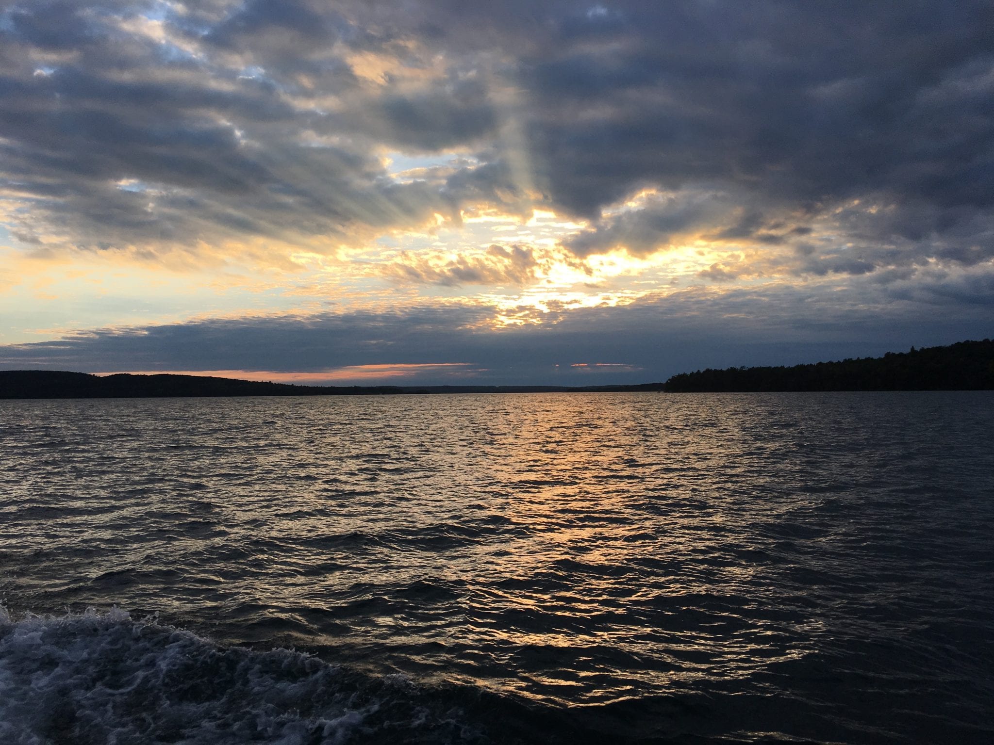
- Heading back to Munising City Dock. Grand Island National Recreation Area on the right.